Pulaski County GIS

The purpose of Pulaski GIS mapping is to display the geographic location of a variety of data sources frequently updated from local government and other agencies. Neither WTH Technology nor the agencies providing this data make any warranty concerning its accuracy or merchantability. And no part of it should be used as a legal description or document.

Pulaski County, IN Map

Recent News

2019 Conservation Farmer of the Year

. The 2019 recipient of the annual Conservation Farmer of the Year goes to Steve Hintz of Hintz farms. Steve started farming in 1979 after graduating from…

Arrowhead RC&D River Rafting Expedition

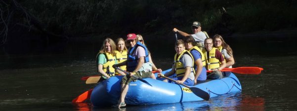
Arrowhead RC&D’s 25th Anniversary River Rafting Expedition will be held this year on September 4th, 5th and 10th, 11th, and 12th. This 5-6 day event is held…

Indiana State Fair

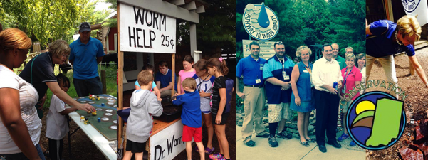
Visit the Pathway to Water Quality Exhibit: Where does all the water go after it rains? How does what people do on their land at home, on…